
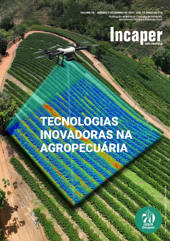
MAPPING THE COFFEE FIELD IN RIO BANANAL, ES, USING ORBITAL REMOTE SENSING AND MACHINE LEARNING TECHNIQUES
DOI:
https://doi.org/10.54682/ier.v.16.p26.36Keywords:
supervised classification, Coffea canephora, agricultural monitoring, cloud computingAbstract
Harvest forecasting is essential for the efficient agricultural production management, contributing to reducing market uncertainty and enhancing economic stability. In this context, accurate estimates of the harvested area are crucial for projecting the coffee harvest, as the cultivated area directly impacts regional production potential. Traditional mapping methods, such as manual vectorization through photointerpretation, are costly and time-consuming, while traditional classification algorithms generally show low accuracy. More advanced methods, that integrate remote sensing and machine learning, can provide results that are more accurate and more detailed. This study aimed to develop and evaluate strategies for estimating the harvested coffee area in the municipality of Rio Bananal, located in northern Espírito Santo, using satellite imagery and advanced classification techniques. Image processing was performed on Google Earth Engine (GEE) using the Random Forest algorithm implemented in JavaScript. Four Sentinel-2A images acquired in the first half of 2024 were used, from which ten original spectral bands, 14 derived spectral indices, and probabilistic bands from the Dynamic World V1 product were extracted, forming the model's predictor variables. For model training and validation, 501 regions were randomly selected, classified by land use and land cover through photointerpretation of PlanetScope images (January to April 2024), from which 8,000 sample points were generated. Accuracy was assessed through cross-validation, using the confusion matrix to calculate overall, user, and producer accuracies. The model estimated an area of 21,226 hectares of coffee cultivation by 2024, comparable to the results of previous studies conducted by the Jones dos Santos Neves Institute (20,084 hectares in 2019-2020) and the IBGE's Systematic Survey of Agricultural Production (18,100 hectares in 2023). The classification showed an overall accuracy of 92%, and, specifically for the coffee class, the user and producer accuracies were 87% and 90%, respectively. The results demonstrate that the approach used has great potential for estimating coffee cultivation areas with high precision, potentially contributing to crop forecasting and regional planning. However, it is recommended to use longer time series and include samples obtained directly from the field to minimize potential errors resulting from photointerpretation and further increase the reliability of the estimates.
Downloads
Downloads
Published
How to Cite
Issue
Section
License
Copyright (c) 2026 INCAPER EM REVISTA

This work is licensed under a Creative Commons Attribution-NonCommercial 4.0 International License.
A licença CC BY-NC-ND 4.0 é uma licença pública internacional que permite a cópia e redistribuição de material, desde que seja para fins não comerciais e que seja atribuído crédito ao autor


